Day 10: Charleston to Hilton Head, SC
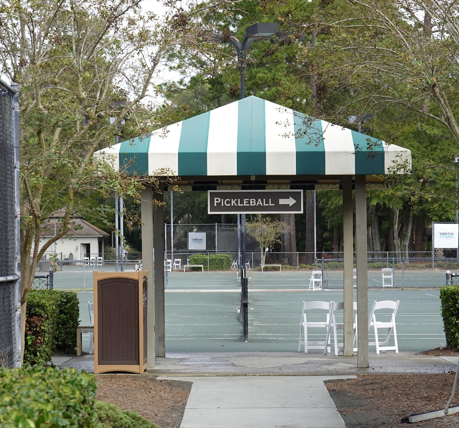
Our first day off on this trip was in Charleston, and we began our day, of course, at the pickleball courts near our marina. The folks there were unbelievably friendly, and we had some very nice games.
 |
| Ann about to hit a winner! |
The seas were rough out, and so despite my reluctance to run in the intercostal waterway (ICW), we studied the tide tables and woke up extremely early yesterday (assisted by the extra hour from falling back), and we were off the dock in the dark at 5:40 a.m. There was this amazing 180 foot sailboat in our marina with cool lights on the mast, and I got this photo just as we were about to pull out.
It was very windy, and there was a strong current, as we pulled out, with one boat 8 feet in front of us, and another about 5 feet behind. Needless to say, it was scary, and we were both relieved that nothing was hit and nobody was hurt (my standard for success in boating) as we headed South again.
As if it's not nerve-racking enough to travel over shallow areas, even at high tide, we came upon a section where our MFD chart showed the preferred route as going right over land. Had I not had a redundant set of charts on my iPad, I would have stopped the boat and made some phone calls because this looks mighty confusing. However, our real-time updated Aquamap charts on the iPad showed that the preferred track was in fact correct. So we held our breath and drove right over the "land" on the chart. Made me wonder about what else might be off on these charts...
Some areas were wide open, like where we saw those dolphins, and then some areas made us both have to focus and stress, as we navigated with all our attention. There was one spot where the water was only 4 feet deep, but we had 7 additional feet of water at high tide, so we had no trouble. At low tide, we would have gotten stuck. In the ICW, the tide tables are the most important tool.
 |
| Red is bad. Orange is not great. This section required our full attention |
We love Hilton Head. After we docked at Harbour Town marina, which is where we stayed last year, we ran into some of our boating friends from Annapolis who were stopping here as well. Our group pictured below was on four different boats. We got together for a great dinner and had a blast.
This afternoon, we had rain showers, followed by the sun, and I loved the lighting opportunity that created for another photo of empty nest.
We signed up to play in a competitive round robin this evening at a local pickleball club where we played last year. All day long we wondered if we were going to get to play because it was raining on and off. I called the club, and they said it was on and not raining there. So, we took a 25 minute Uber ride, started warming up, and then the sky opened, and it began pouring. We Ubered back to the marina. Oh well. I'm sure we'll play plenty in Stuart, and happy to support the local Uber economy.
The seas look very bad for the next few days, with 6 foot waves, and there was some talk of up to 11 feet. We initially extended our stay in Hilton Head by a couple of days to wait it out. But then Ann convinced me to study the ICW tide charts and see if we could chart a new course. We spent 2.5 hours this morning pouring over details, and we finally worked out a new itinerary that gets us to St. Augustine one day later than originally planned.
Mostly, we had to plan around the tide schedule so that we hit the trouble spots at the right times. Sometimes it's a balancing act with a rising tide at a first location, and a falling tide at a second location, and we have to make sure that in both cases, we have enough depth to work with. I'm confident that we figured it out with a nice safety margin, so I'm looking forward to this. We have very specific times to leave each day and pre-determined speeds for each leg of the journey. It's all mapped out. On Friday, the seas are supposed to be calm, and we'll likely go by ocean again. But we will evaluate the situation and act accordingly when the time comes.
Now, of course, we will spend the rest of the evening flipping between Michigan's basketball season opener and Patrick Mahomes on Monday Night Football. And as usual, we'll probably be fast asleep by 9:30 pm.
Ann and I enjoyed having a day off in Charleston and one more today. We've recharged our batteries, as well as those on the boat, and we're ready to go!


Comments
Post a Comment